Senior software engineer · Python, computer vision, geoinformatics · Kranj, Slovenia
Egej Vencelj

I build the software for pilots who fly power-line inspections, and for the experts use to check the data afterwards.
I build computer vision and mapping software and run it in production. My software covers the whole path: from cameras that capture the data, to AI that makes sense it, and the tooling experts use to verify it, including the servers that run it all. It has been my job at a power-line inspection company since 2017, and I made games before that: more than ten years of writing software for a living. I reach for existing tools first and build my own only when nothing fits.
- 2020 - presentSenior software engineer, Panarch
- 2017 - 2019Software developer, Panarch
- 2013 - 2015Junior software engineer, ZootFly
CV Work Projects Skills Email me GitHub LinkedIn
Open to remote work and to working abroad; relocation negotiable. EU citizen.
The point cloud behind this text is 62k points of power lines crossing at the Šoštanj power station, drawn live. The data is Slovenia's public LiDAR (ARSO, CC BY 4.0).
01
CV
-
2020 - present
Senior software engineer
Panarch, Kranj
Panarch inspects power grids from helicopters, with multiple sensors. I look for what slows the crews and reviewers down, then plan, design and build the solutions. I maintain the vision pipeline, the QGIS suite, the flight software and the servers.
-
Dec 2017 - 2019
Software developer
Panarch, Kranj
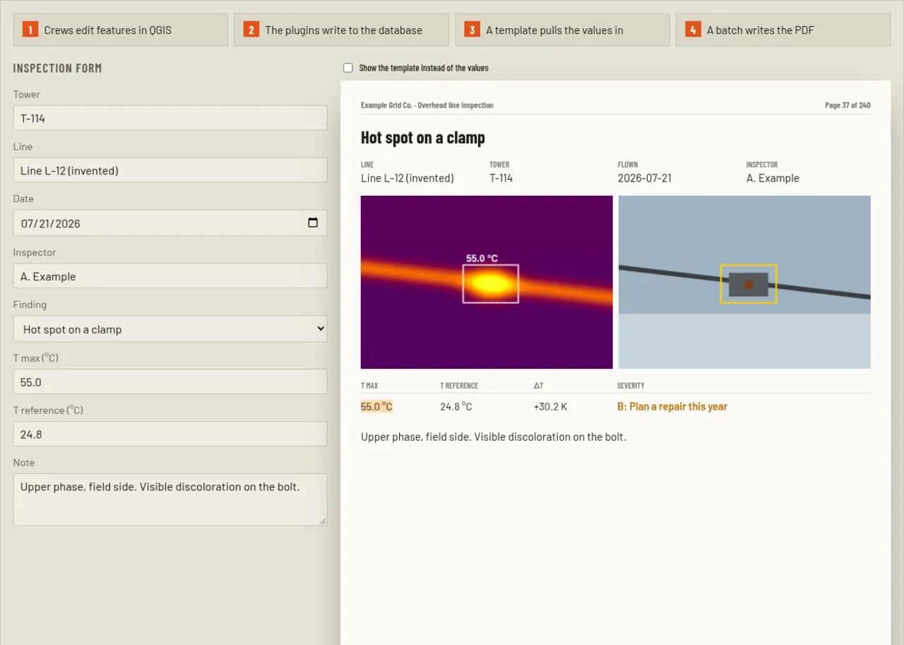
In 2018 I wrote the framework that every Panarch QGIS plugin runs on. The report system, wire vectorization and the flight-video sync tool also date from these years. I pitched my own ideas to the company and started building them before I finished my degree.
-
2019
Bachelor's degree in Computer and Information Science
Faculty of Computer and Information Science, University of Ljubljana
After the game studio stint, I went back to university and finished the degree in 2019, part-time alongside the job at Panarch. My thesis, measuring pylon lean from LiDAR, went into production at work and is still in use. Coursework included mathematical modelling and mobile-robot navigation with ROS, and I took part in Roboliga, the faculty's robot contest.
-
Mar 2013 - Sep 2015
Junior software engineer
ZootFly / IBZoot / Interblock
The studio made computer games at first and casino games after the Interblock acquisition. I wrote front and back end code for a cross-platform 2D Unity client that loaded several game instances at once, and an early prototype in cocos2d-x.
-
Sep 2018 - present
FairPair
Personal project · fairpair.gg
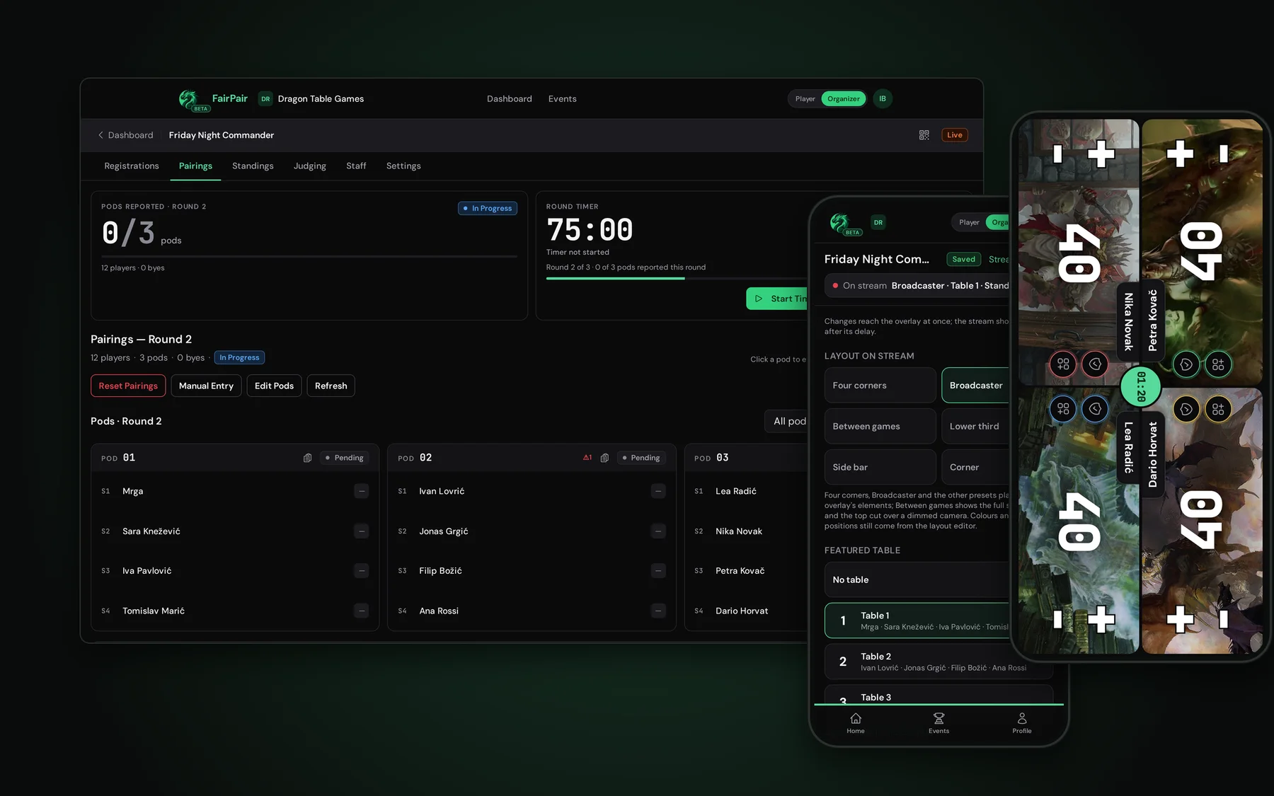
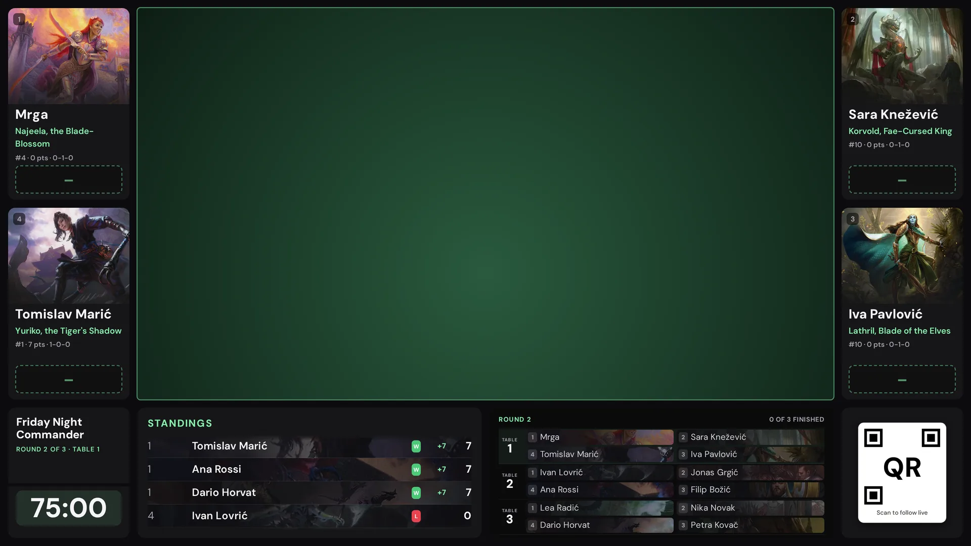
It grew out of the pairing engine I started in 2018 into a tournament web app, which I started and a small team now builds. I wrote its live side for streams.
-
2026
EU drone pilot certificates
Open and specific category
A1/A3 and A2 for the open category, and the standard scenarios STS-01 and STS-02 for the specific category. I passed the A2 and STS theory exams in March 2026. Relevant to work that flies cameras over infrastructure.
02
Work
Panarch in Kranj conducts airborne powerline inspections with multiple sensors. I joined as a developer in December 2017 and have been the lead software engineer since 2020. My software covers it all: from the camera to the report. Pilots, field crews and reviewers use it every day. The code is private, so each demo is rebuilt from scratch on public data.
-
01 · Personal · 2026 - present
My multi-agent coding setup
I follow the latest industry concepts. More
-
02 · 2021 - present
Ultra-high-resolution YOLO detection
My feature matching algorithm places a big inspection project's YOLO detections in 3D in about a day, where linking them by hand would take more than two years. More
-
03 · 2018 - present
The QGIS inspection suite
The whole company works in these QGIS plugins every day. More
-
04 · 2021 - present
Geotagger: photos, map and 3D
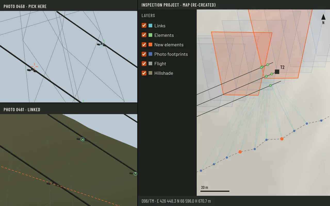
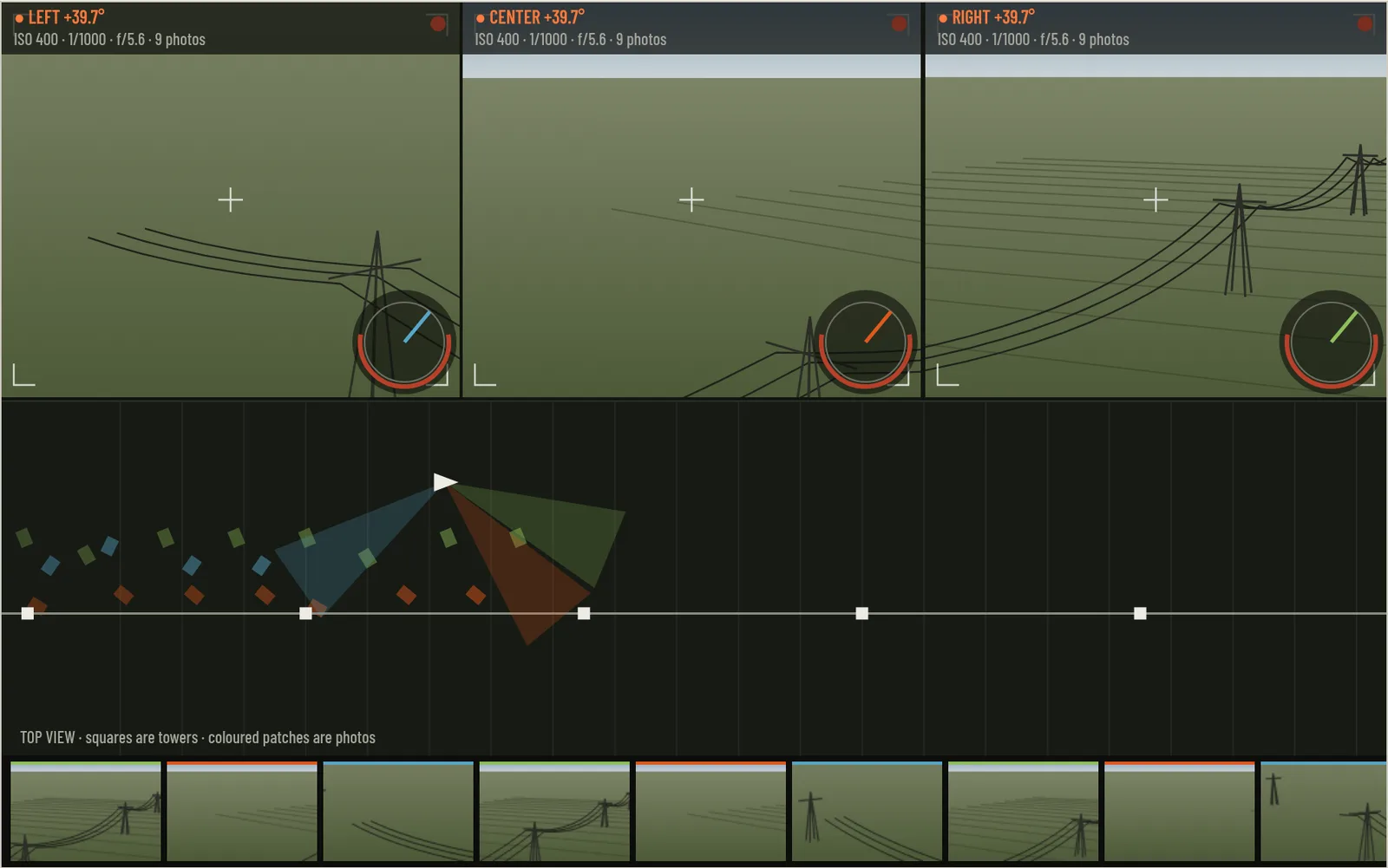
The geotagger is a QGIS tool where a human reviewer checks each detection, with its photos and tie points on the map and in 3D. More
-
05 · 2022 - 2025
Point-cloud slices on demand
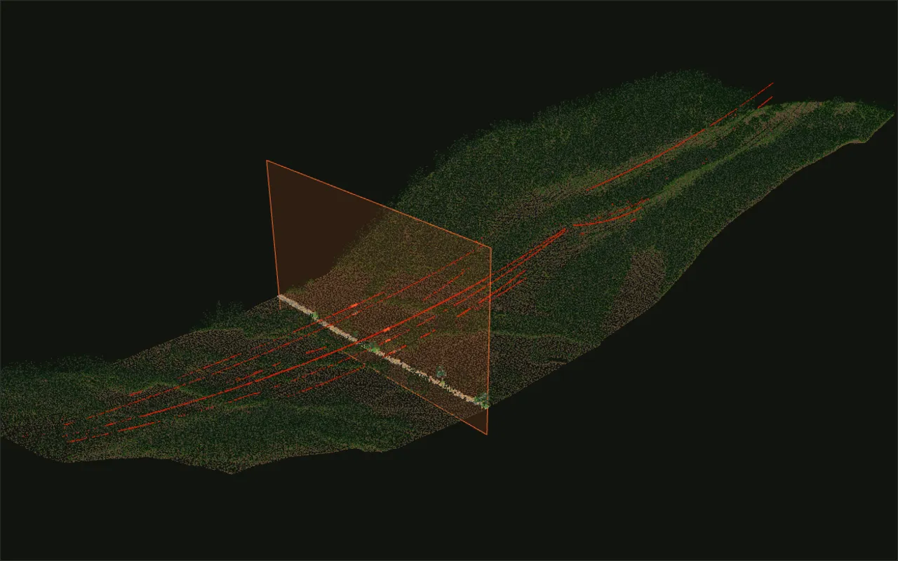
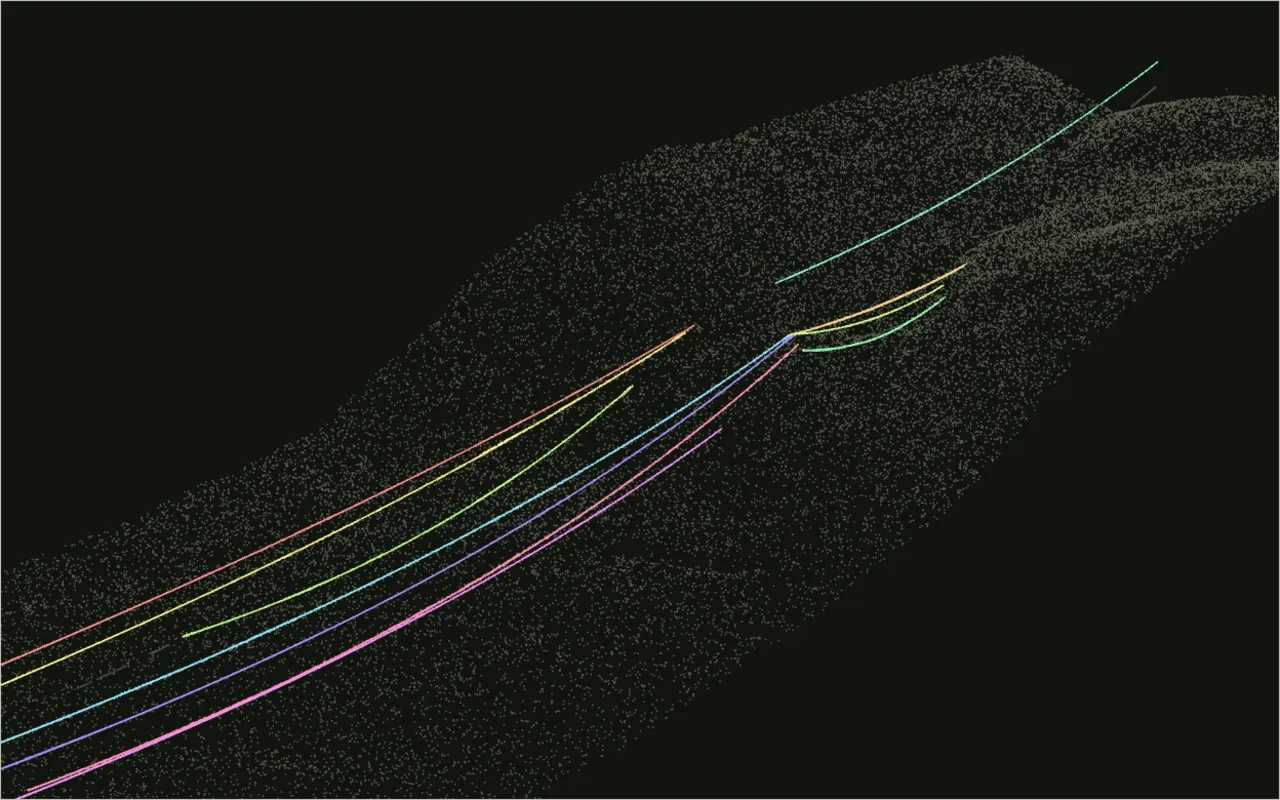
A small service I wrote cuts a slice out of the LiDAR point cloud on request. More
-
06 · 2021 - 2025
Point cloud to photo projection
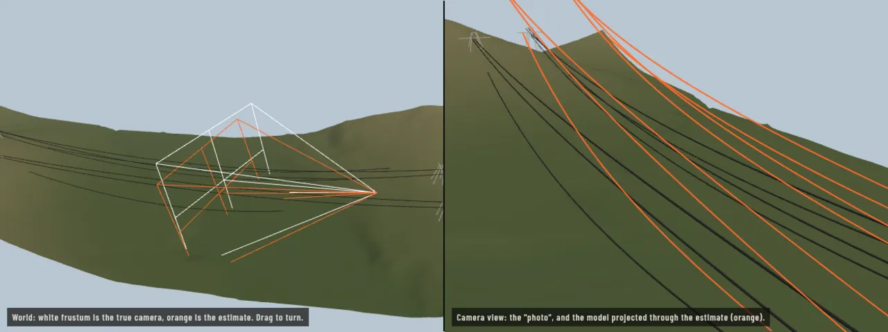
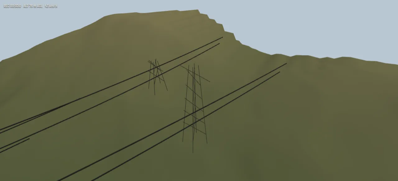
The camera geometry I wrote projects a power grid's 3D data into each inspection photo. More
-
07 · 2019 - present
Helicopter pilot live map
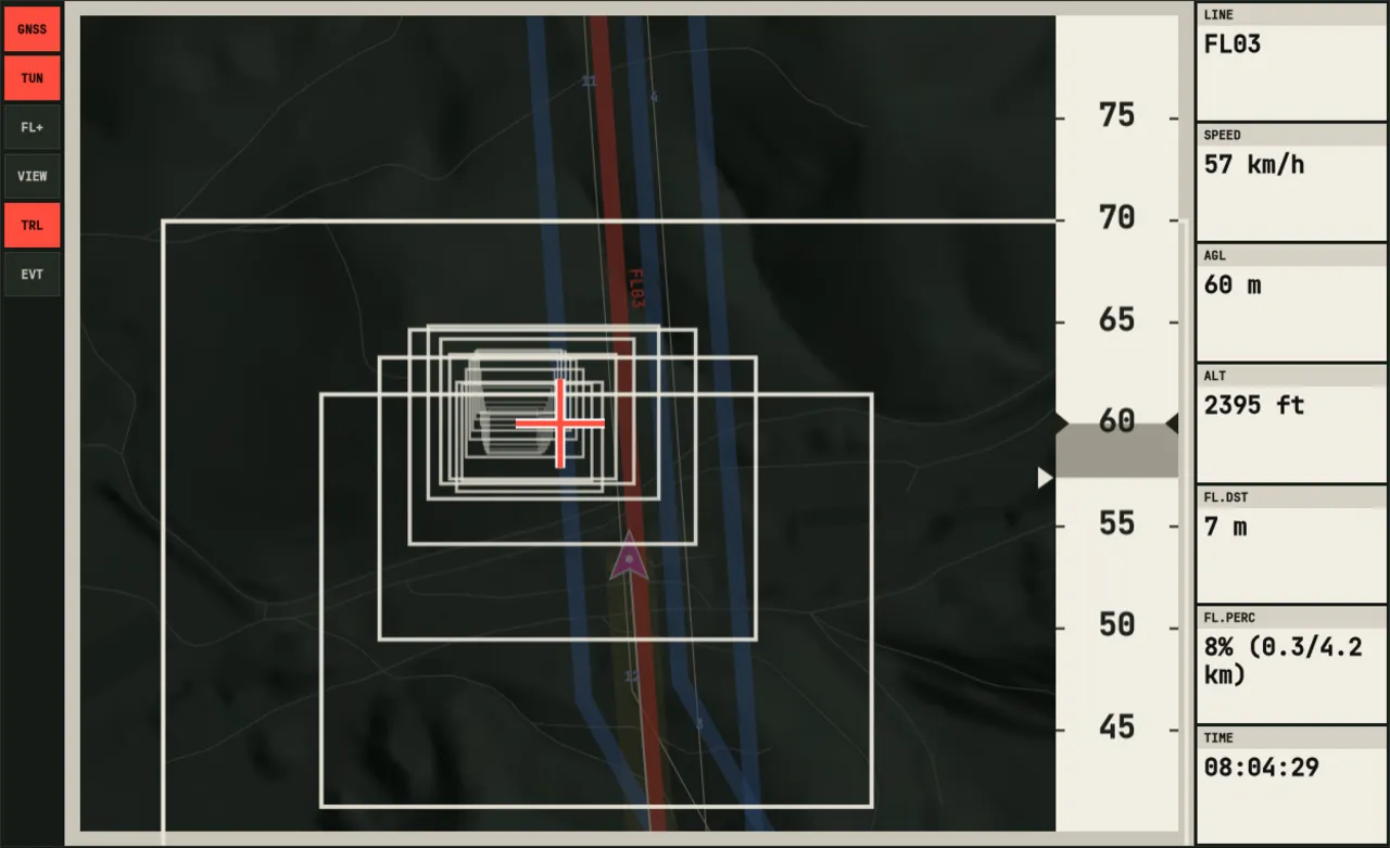
The dynamic navigation system pilots fly inspection with. More
-
08 · 2018 - present
Wire and pylon vectorization from point cloud
From the LiDAR scans, my code draws one clean 3D line per conductor per span and measures how far a lattice tower leans. More
-
09 · 2020
The multi-camera gimbal pod
The pod hangs several sensors on motorised pan heads, suspended below a helicopter, and my software steers them from a controller. More
-
10 · 2018
Flight video synced to the map
A QGIS plugin that tied inspection video to the flight track, so the map and the video followed each other. More
03
Projects
FairPair, a live tournament platform, and Floorcut, an AI video editor, plus streaming tools, a home server and 3D prints, all built in my spare time.
-
01 · Web platform · pairing engine · 2018 - present
FairPair
A web app that runs competitive Commander (Magic: The Gathering) tournaments, live at fairpair.gg. More
-
02 · Video · speech · AI · 2026
Floorcut
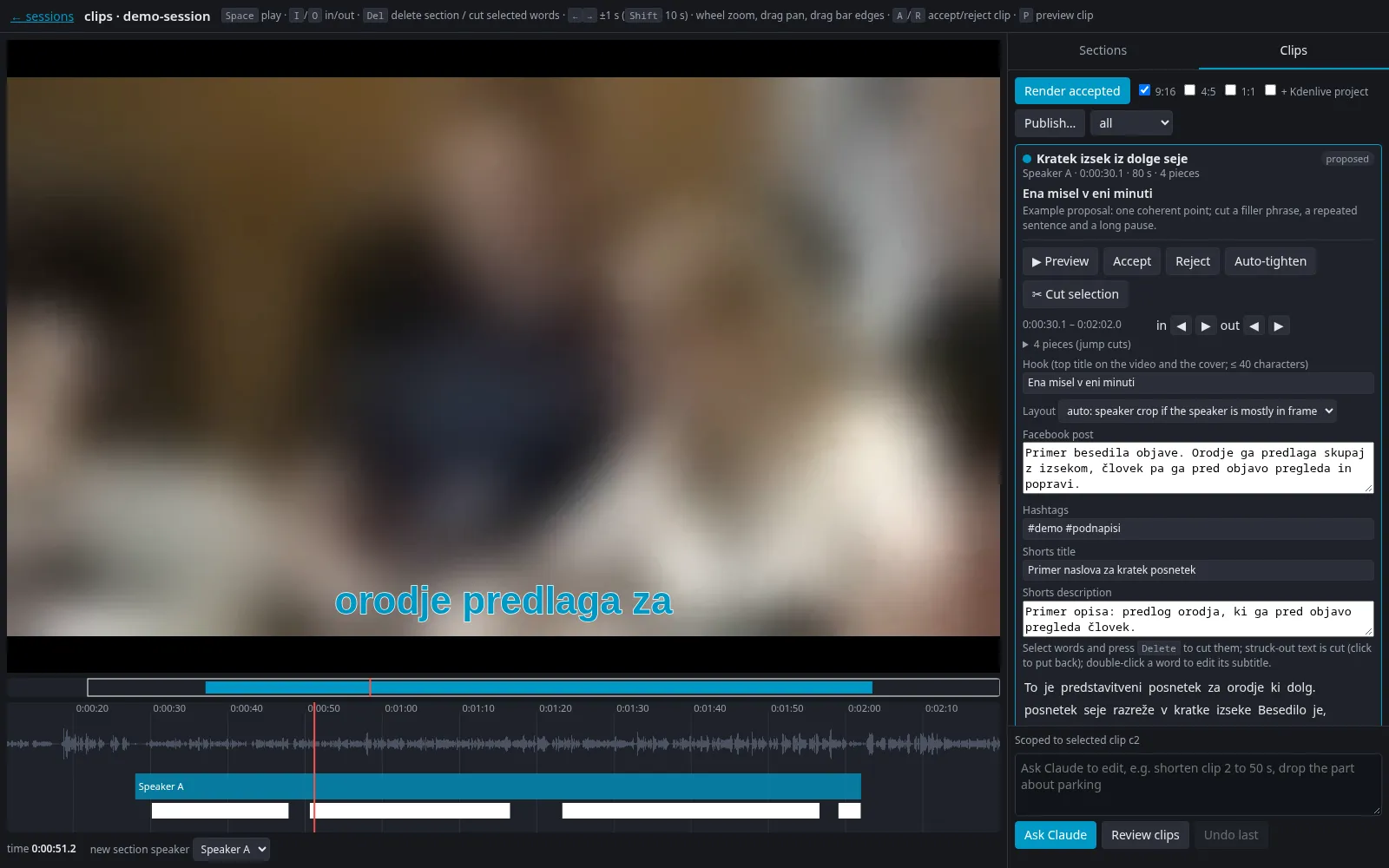
Floorcut is my AI-assisted video editor that turns hours of recorded meetings into short, subtitled clips of the speakers I choose. More
-
03 · 2026
Real-time transcription and translation for OBS
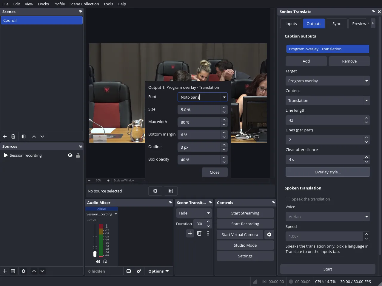
An OBS Studio plugin that subtitles speech as it is spoken, in the original language or translated, on the stream and in the recording. More
-
04 · Ongoing
Smart home server: media, AI cameras, automation
One Linux machine at home runs our media library, a camera recorder with on-device AI, home automation and the family photo library. More
-
05 · Ongoing
3D printing at home
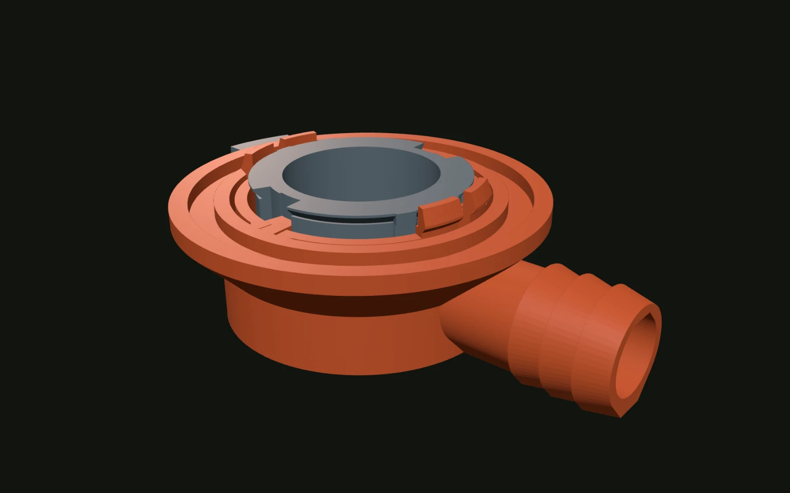
I print a lot as a hobby, mostly fixes, holders and fittings for around the house. More
04
Skills
Each one links to the work that shows it.
- Agentic software development
- Loop engineering: instead of prompting agents step by step, I design the loops they work in. A supervising agent gives every task its own coding agent, so several tasks move at once, and nothing becomes a pull request until review and tests pass. Merges and real decisions stay with me. In the first month, more than 170 pull requests were merged this way across my projects, from FairPair and the Floorcut video editor to an OBS plugin built in about a week. My multi-agent coding setup
Real-time transcription and translation for OBS
Smart home server: media, AI cameras, automation
Floorcut - Computer vision
- Computer vision has been my work at Panarch since I joined in 2017, first on 3D point clouds and from 2021 on photos too. I designed both sides myself: point-cloud processing that turns laser scans into wires and towers, and object detection that finds small components on large inspection photos and places each one in 3D. Ultra-high-resolution YOLO detection
Geotagger: photos, map and 3D - GIS and LiDAR
- For GIS, I built the plugin framework behind Panarch's QGIS inspection suite in 2018, and every plugin in it still runs on it. For LiDAR, my point-cloud code turns laser scans into a 3D line for every wire and measures how far each tower leans. The QGIS inspection suite
Geotagger: photos, map and 3D
Point-cloud slices on demand
Wire and pylon vectorization from point cloud - Hardware integration
- When a camera, gimbal or GNSS receiver comes without an SDK, I write its driver from the maker's protocol documents. I also specified and built the GPU server for our model training and the small cluster for our inference runs. I built my smart home infrastructure, with NVR, local AI models, AI camera models and more. The multi-camera gimbal pod
Helicopter pilot live map - Algorithms
- Matching noisy real-world data is the heart of my work: across many overlapping photos, my matching suite decides which detections are one object and places it in 3D with epipolar geometry, triangulation and outlier-tolerant clustering. In my spare time, FairPair core pairs four-player Swiss tournaments. Ultra-high-resolution YOLO detection
FairPair - Testing and CI
- At work my algorithms handle noisy real-world data, and a ground-truth benchmark I wrote measures every change to it. My own project, FairPair core, has about as many lines of tests as of engine, and they run on every release. Ultra-high-resolution YOLO detection
FairPair
Real-time transcription and translation for OBS - Desktop and UI
- I build desktop tools in Qt for the people who use them in the field and the office: the QGIS inspection suite, the pilots' navigation system and FairPair's desktop app. In the suite, my report system lets non-technical staff lay out and produce the client's PDF reports themselves. The QGIS inspection suite
Helicopter pilot live map
FairPair - Real-time audio and video
- Speech, live and recorded. An OBS Studio plugin captions a stream in step with the speaker, and Floorcut cuts hours of recorded speech into short subtitled clips on word boundaries. I designed both and directed the coding agents that wrote them. Real-time transcription and translation for OBS
Floorcut - Linux, IT and networking
- I look after many parts of office's everyday IT as well as our Linux AI infrastructure. At home my own server runs the cameras with on-device detection, the media and photo libraries and the home automation. Smart home server: media, AI cameras, automation
- Programming and spoken languages
- Python is my main language, at work since 2017, with SQL for PostGIS and JavaScript and Vue for FairPair's live side. Before that, C# in Unity at the game studio. Spoken: Slovenian (native), English (fluent), German (basic).